
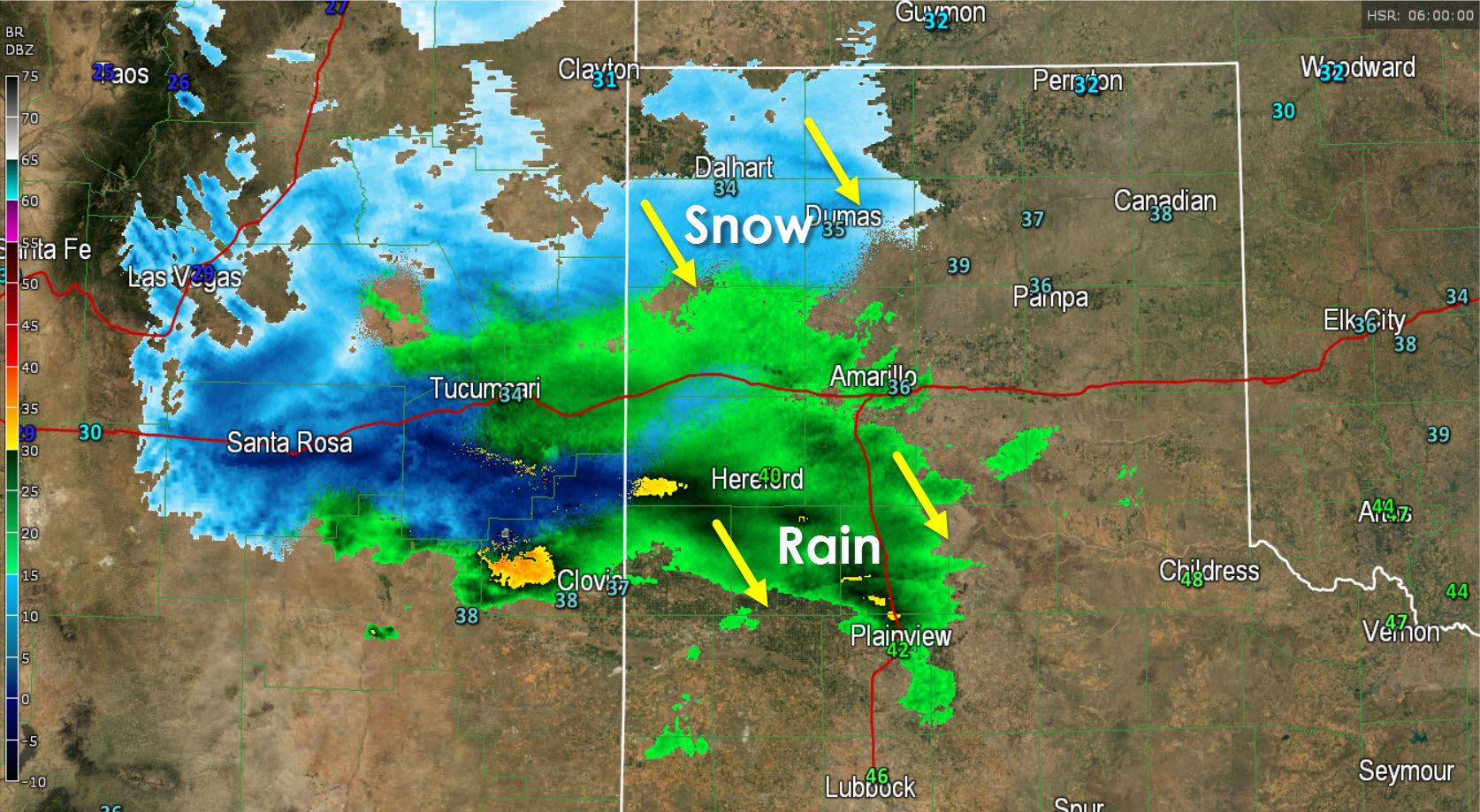
An upper level impulse is helping an area of light rain and snow move south/southeast across the western Texas Panhandle early this morning. A light sleet/snow mix is occuring across the northwestern Texas Panhandle. Further south from Interstate 40 into the southwestern Panhandle precipitation is falling as rain. As temperatures continue to fall early this morning we should see most precipitation change over to light snow through 6 AM. Light accumulations of snow will be possible with 1 inch being on the upper end of the spectrum. That’s nothing for folks up in the Panhandle.
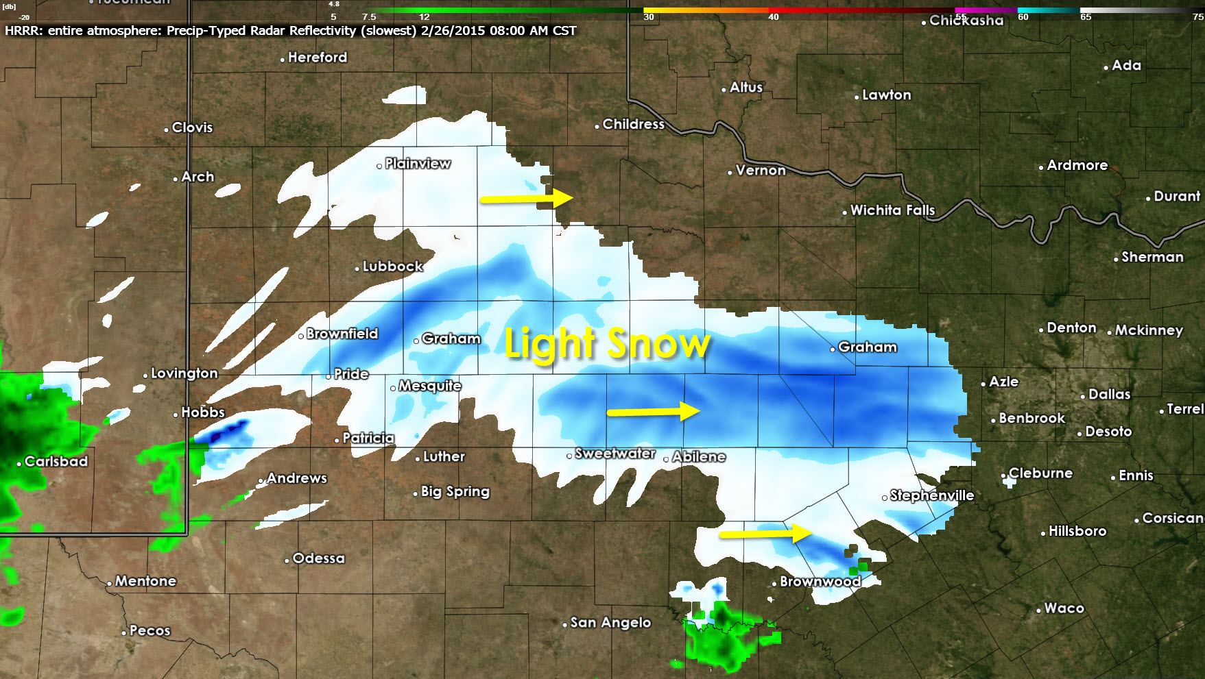
The chance for light snow will spread into the South Plains, West-Central Texas, and western North Texas later this morning as the upper level impulsive moves east. Once again only light accumulation of snow is expected with most locations seeing a dusting up to one inch of snow. There is the potential for a slightly stronger band of snow that may drop up to two inches of snow across West-Central Texas and western North Texas. Like the system on Wednesday we won’t know where that locally enhanced zone of snow sets up until it actually gets going. A few roads/bridges may end up being a tad bit slick in areas that receive the 1-2 inches of snow. Otherwise this will be a non-event this morning. This light snow will weaken as it enters a drier airmass over North Texas. We could see a few flurries in the D/FW Metroplex after sunrise but that’s a low probability.


0 Comments