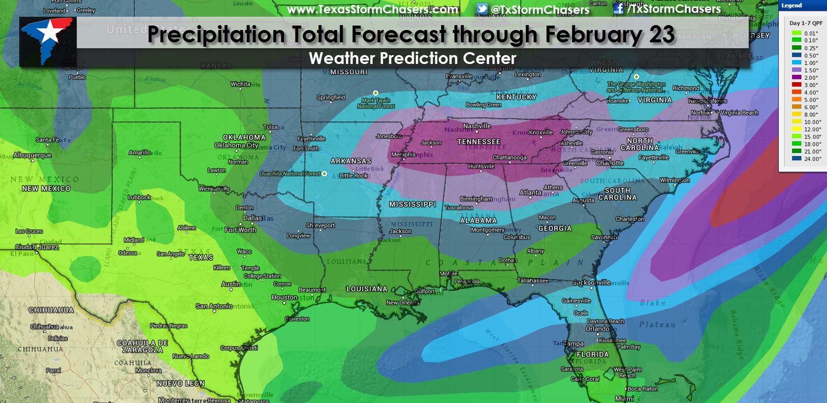
The next two weeks are looking unsettled across the eastern two-thirds of the United States. Overall the pattern will continue to support additional bouts of cold air and upper level storm systems. Not surprisingly the Climate Prediction Center has highlighted the likelihood for below average temperatures next week in their outlook. The chance for precipitation will also be above average. That’s not to say everyone is going to get wet or see heavy rain – it just means the upper air pattern will be active and we’ll have a couple chances for precipitation across parts of Texas. Our next chance for precipitation based off the latest weather model guidance looks to be on Friday across East and Southeast Texas. Another system could bring more widespread precipitation Saturday Night into Sunday across Texas including the potential for some wintry mischief. Next week looks fairly active with several pieces of upper level energy potentially impacting Texas. As always there will be plenty of chances to the forecast as everything comes together.
Not every day will be cold or wet with temperatures warming up later this week. Another cold front will cool things off by this weekend and keep things interesting as we head into the weekend and into next week.


0 Comments