
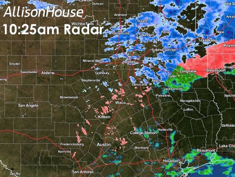
Most of north Texas has been left with just pockets of intermittent light to moderate sleet as the system moves off to the east this afternoon. Roads are still extremely slick and hazardous, but with most schools in the area closed and folks staying at home, the accident rates have been relatively low for a system such as this. For the remainder of the morning and into the afternoon hours across north Texas, the sleet will continue to diminish and we’ll be left with just occasional batches of freezing drizzle and light sleet…and maybe even a snowflake or two. Here’s a look at radars for the state, north Texas and the panhandle.

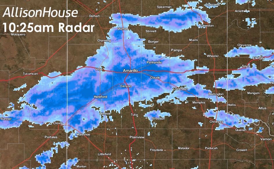
For the central panhandle, snow continues to fall in a band stretching from Hereford, Amarillo and over towards Clarendon. Another couple of inches will accumulate by the time this batch of snow moves off to the east after noon today. As we get into the early evening hours, most of the system will have moved east of the state with only lingering sleet and freezing rain across far east Texas. And guess what…might get to do this all over again early Wednesday! David is perusing the latest model data and will have something out on that later this afternoon!
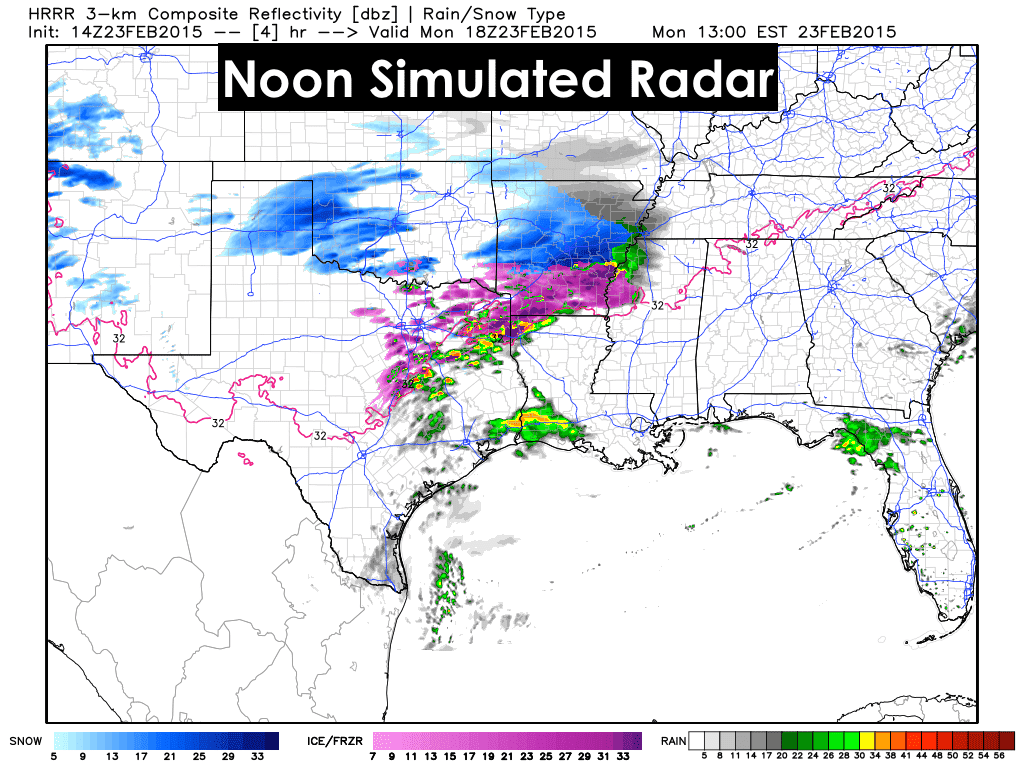
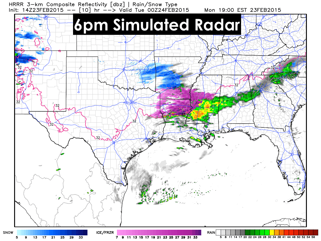
Here’s a look at how the radar is anticipated to look at around noon, 3pm and 6pm.


0 Comments