
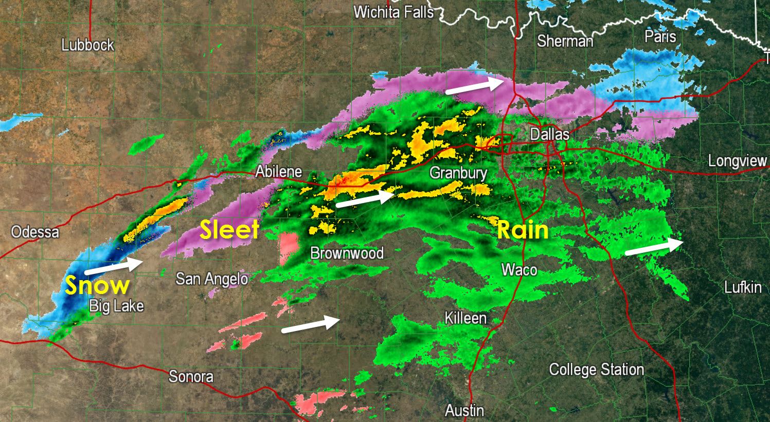
Light rain mixed with sleet at times is now falling in the D/FW Metroplex south to Waco and west into the Concho Valley. At this time we’re still waiting for the main upper level low to move overheard. Once that occurs after 2 AM we should start seeing locations in the Concho Valley and western North Texas switch over to snow. Weather models continue to indicate that heavy snow, some potentially convective in nature, will develop in western North Texas after 3 AM and move eastward into the D/FW Metroplex. Should that occur there’s a chance that heavy, wet snow will accumulate. We’re still calling for 1 to 4 inches of snow in the D/FW Metroplex into Northeast Texas. Isolated amounts up to 5-6 inches will be possible northeast of D/FW from Greenville to Paris. 1 to 2 inches of snow will likely fall in East Texas (along/north of I-20 from Tyler to Shreveport) later this morning.
The heaviest snow is expected in the D/FW Metroplex from 4 AM through 10 AM before quickly moving east. We may have slushy roads and slick spots for the morning commute. Temperatures will climb above freezing this afternoon and snow will quickly melt. Snow will exit Northeast/East Texas by 2 PM with temperatures rising above freezing by late afternoon in those areas as well.


0 Comments