

A raw miserable day is forecast as a strong cold front continues to push south through Texas today. Temperatures south of the cold front are quite warm for late November with it feeling like an April day. Temperatures will top out in the 70s in Southeast Texas and South Texas with 80s in the Rio Grande Valley. Some of these locations will see the warm temperatures this morning before the cold front blasts through and drops temperatures into the 40s this afternoon. Folks already north of the cold front will attest to the nasty conditions. Temperatures are in the 20s across the Panhandle and West Texas with dangerous road conditions as an ice storm continues to unfold. Temperatures across the Big Country and North Texas will not make it out of the 30s or low 40s today but they will remain above freezing with the potential for flooding rains.
Precipitation chances are about as high as you can get across the western two-thirds of Texas today and that’ll continue tonight. On Saturday rain chances will increase into South Texas and East Texas. Our winter storm and heavy rain event will finally start to move out on Sunday and Sunday Night.
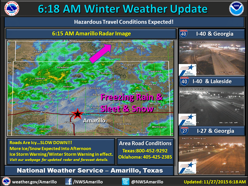
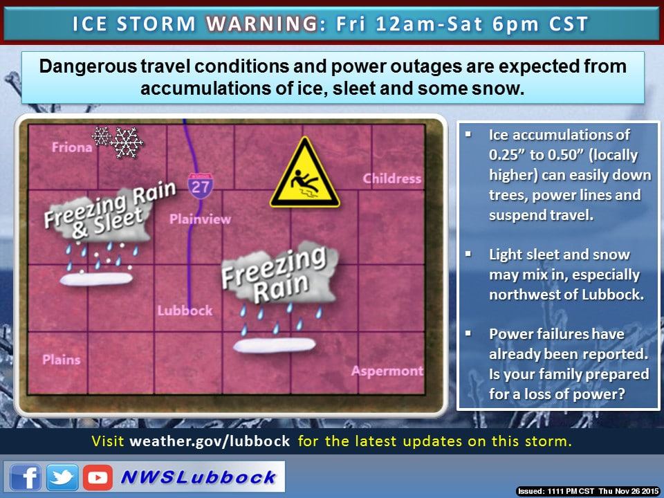
A dangerous winter storm is unfolding across the Texas Panhandle, South Plains, Rolling Plains, and far Northwest Texas. Road conditions are already slick and hazardous and will remain that way all of today, tonight, and into Saturday. Additional accumulations of ice will create an enhanced risk of infrastructure damage to powerlines and trees. Power outages have already been reported in the South Plains and we will continue to see those power issues as more ice accumulates and the north winds accumulate.
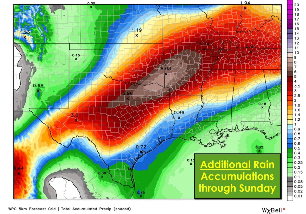
Further east into North and Northeast Texas the big issue will be heavy rain and flooding. The first round of heavy rain overnight brought 2 to 5 inches of rain to the D/FW Metroplex. It did not take long for flooding to develop and those issues will become more numerous as additional rain falls today, tonight, and into Saturday. An additional 4 to 7 inches of rain is expected on top of what fell this morning. Do NOT drive around barricades or into flood waters. We’ve already had a couple morons drive around barricades this morning requiring rescue. The flooding threat is increasing today and we are expecting problems – both in the usual locations and in areas that typically don’t flood.


0 Comments