
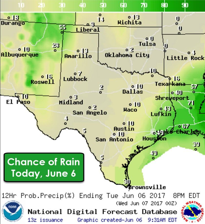
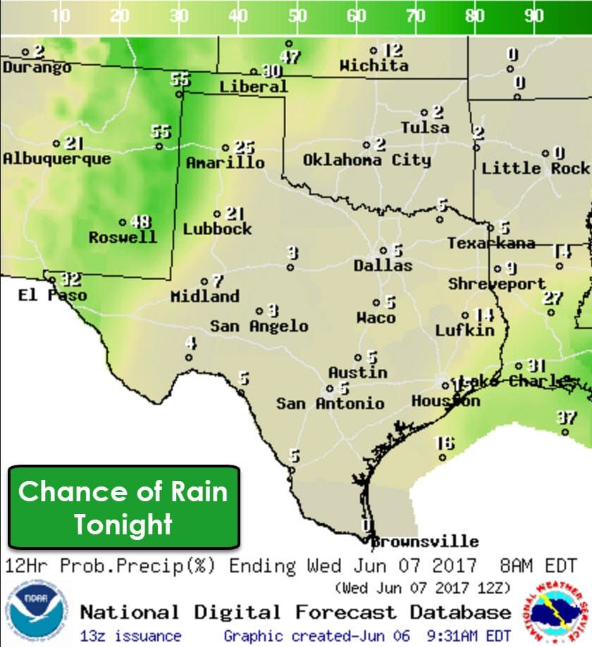
The upper level low responsible for our wet weather over the past several days has finally moved to our east. We’ll still see scattered shower and thunderstorm chances today across East Texas, Southeast Texas, and the Rio Grande Valley today. Those rain chances will dwindle down by this evening. Isolated thunderstorms will be possible this afternoon in the western Texas Panhandle and in the Trans-Pecos. We could see an uptick in storm coverage by the early evening hours across western sections of the Texas Panhandle, West Texas, the Trans-Pecos and in the Borderland. Moisture levels are still fairly low in the Borderland, but should be high enough by the early evening to support widely scattered convection – especially if outflow boundaries arrive from storms in the higher terrain in eastern New Mexico.
Some of the storms in the western Panhandle, West Texas, Trans-Pecos, and Borderland may be strong with a risk of damaging wind gusts and hail. We’ll also have to watch for areas of localized blowing dust in the vicinity of any storms. These storm chances will continue daily through Thursday in the same regions. Coverage may be a bit higher on Wednesday and Thursday. The best timing will be during the late afternoon through middle evening hours. We may see some scattered showers/storms continue into the overnight hours, but the risk of severe storms will tend to be marginal. There is the possibility that late-week rain chances may need to be adjusted depending on trends, so we’ll keep an eye on it.


0 Comments