
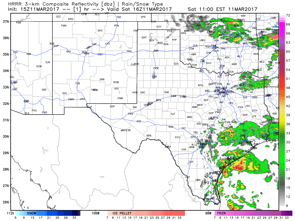
This update will be concentrated on the potential for some stronger storms in West Texas and the Permian Basin later today. For the complete statewide forecast, see Jenny’s blog from this morning or visit Your Local Weather. Outside of the two aforementioned regions, we’re not concerned about severe weather potential with a fairly stable airmass in place. Widespread light to moderate rainfall is expected this afternoon and evening across the eastern half of Texas. Temperatures will be on the cooler side of the spectrum. Further west in the Permian Basin and West Texas temperatures will warm into the middle 70s this afternoon. As a strong cold front moves south into that airmass later today we could see a few stronger thunderstorms initiate.
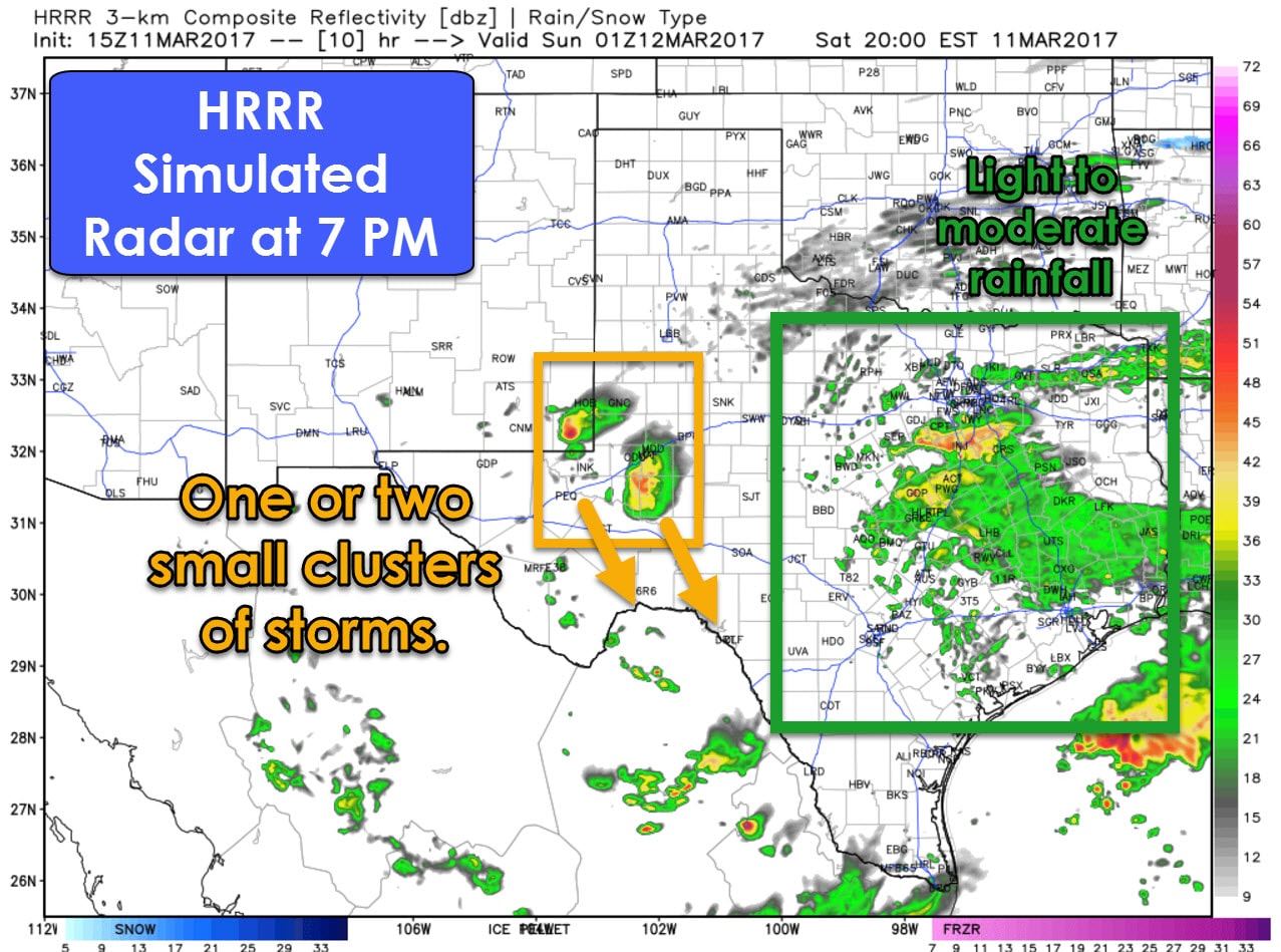
The 9AM run of the High Resolution Rapid Refresh (HRRR) model indicates one or two small clusters of thunderstorms impacting parts of the Permain Basin this evening. Ingredients are not overly favorable for severe thunderstorms, but the combination of steep low-level lapse rates and a 30+ degree temperature/dewpoint spread should support high-based storms capable of producing gusty winds. The airmass further to the east, with light to moderate rain, will not be supportive of more organized storms.
The first storms may develop in Southeast New Mexico and far western Texas between 4PM and 6PM. Those initial storms may tend to produce quarter size hail and localized damaging wind gusts. As they move southeast we may see one or two small storm clusters organize. The storm clusters would propagate south/southeast toward Pecos and Midland by 7-9 PM, and south toward Fort Stockton in the 8 to 10 PM timeframe. Eventually they could make it as far south as Sanderson to west of Del Rio late tonight as shown in the above-loop before moving into Mexico.
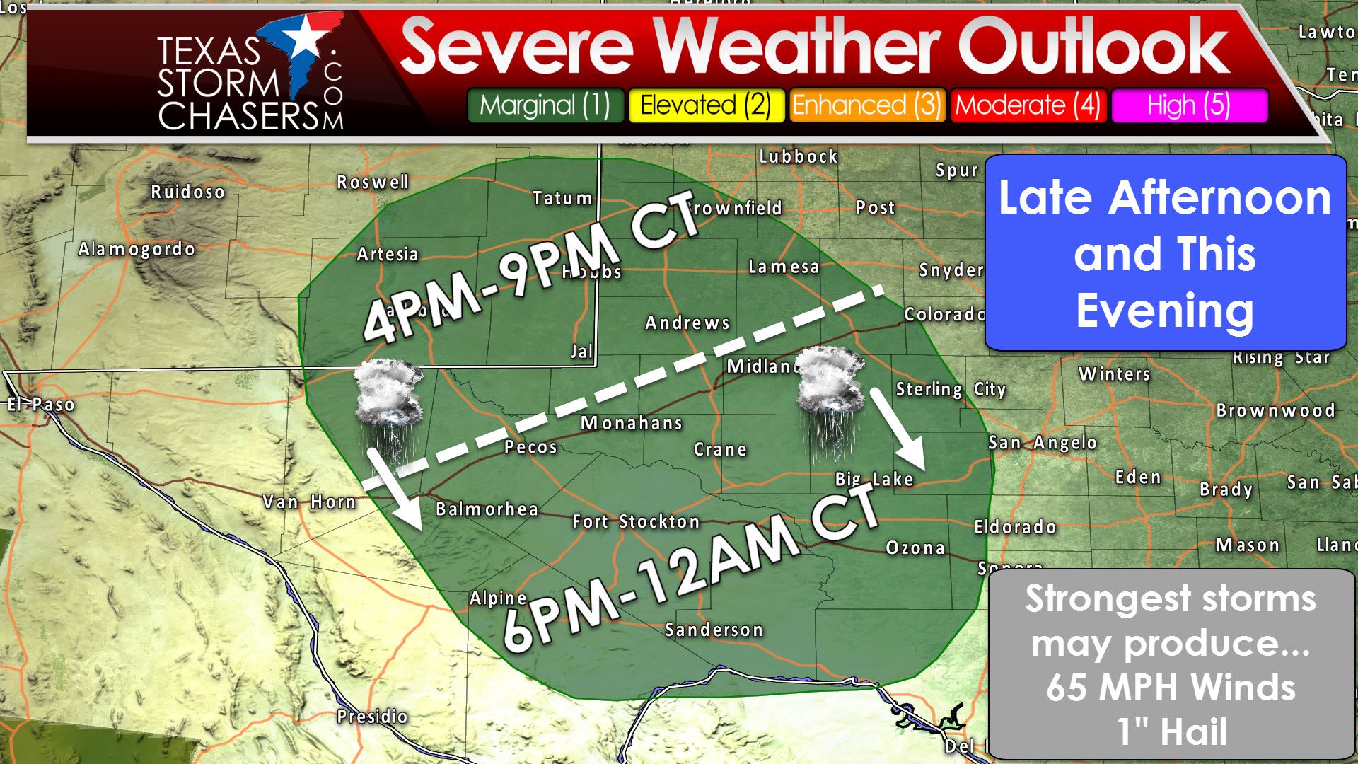
The Storm Prediction Center has placed a category one risk of severe weather for far West Texas and the Permian Basin. On a one to five risk scale, one is the lowest and indicates where strong to a few marginally severe storms are possible. Pecos, Odessa, Midland, Big Lake, Fort Stockton, Alpine, Sanderson, and Ozona are in this risk area. The strongest storms this evening may produce localized wind gusts up to 65 MPH and hail up to the size of quarters. Cloud bases are projected to be quite high, so the tornado threat is minimal. Widespread severe weather is not expected at this time, but a few reports of wind damage and marginally severe hail are certainly possible this evening. Storms should weaken late tonight as they move south toward Sanderson and Ozona.


0 Comments