
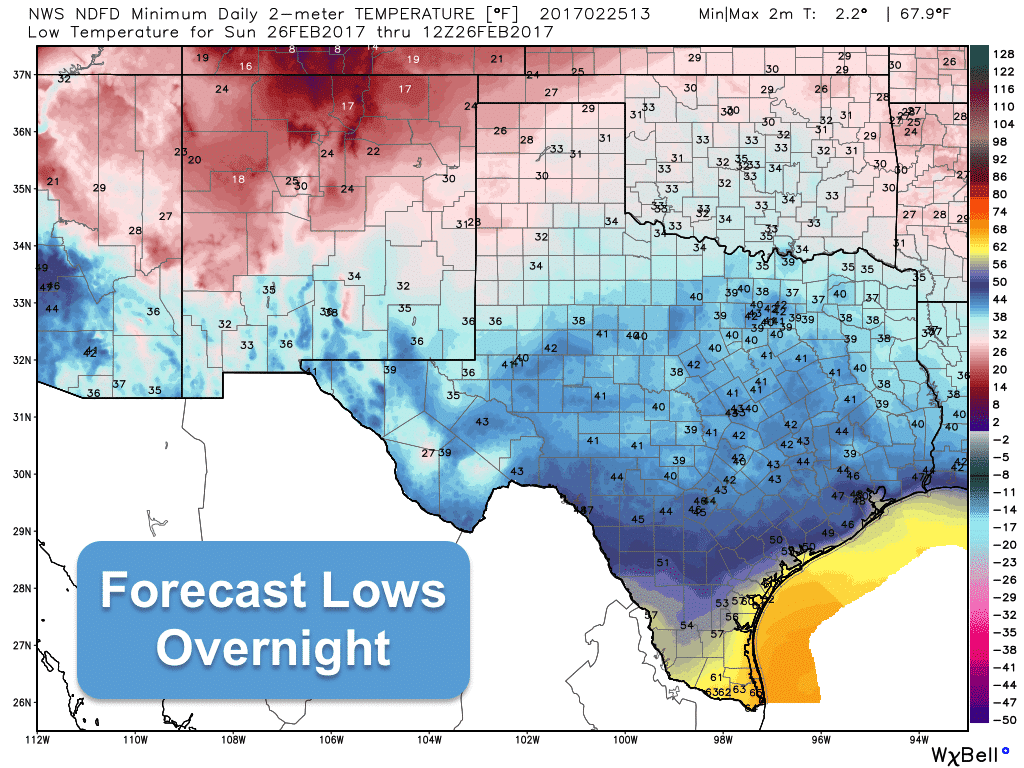
After the past several days of record breaking highs, we finally cool off…back to just below average, actually…then we begin heating up once again tomorrow. We’re also looking at a bit of a stormy weather pattern over the next several days as an upper level disturbance approaches along with the seasonal return of our old friend, the dryline, which will enhance the pooling of moisture to its east. Today, however, will be rain free and sunny and quite a bit cooler than we’ve seen recently. Highs across the panhandle and northern Texas will range from the 50s to low 60s for the most part. Further south, we’ll be a bit warmer, but still pleasant with highs ranging from the upper 60s to mid 70s. Looks like we’ll even see a few 80s across deep south Texas and along the Rio Grande, but certainly nicer than the 100s seen just a few days ago. Lows tonight will be seasonal as well, but we’ll start to see moisture returning in advance of our next system. This along with increasing cloudiness will help keep lows increasing over the next few days
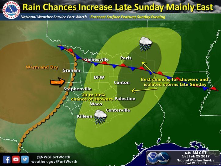
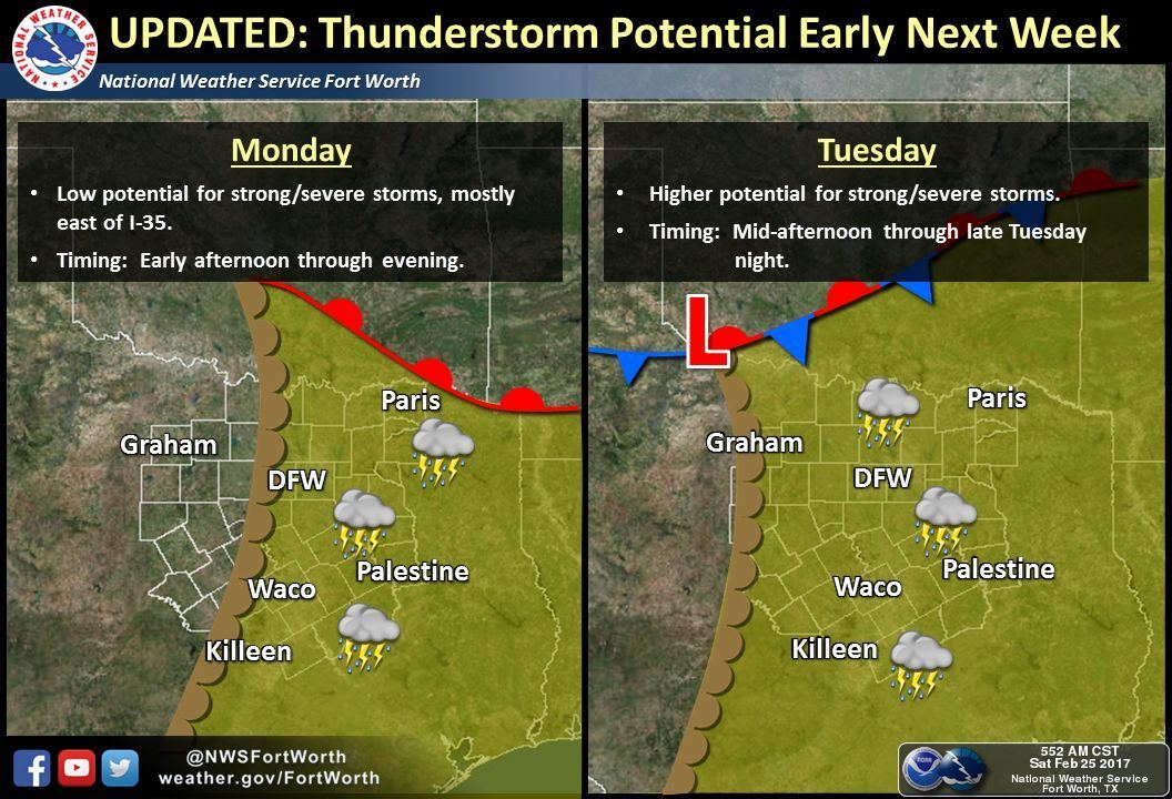
Sunday afternoon and overnight will feature the chance for showers and thunderstorms mainly east of the DFW metro area. A few strong storms could develop across east/northeast Texas during the late evening and overnight hours, but the threat of widespread severe weather is very low. Another chance for storms arrives Monday afternoon, then a better chance on Tuesday afternoon. Damaging wind gusts, some hail, lightning and heavy downpours will likely be the main threats with Monday and Tuesday’s round of storms. Again, not expecting a threat of widespread severe weather at this time, but since this system is still a few days out, we’ll need to closely monitor for any changes to the forecast. Be sure to check back with us again on Sunday and Monday as the forecast refines.


0 Comments