
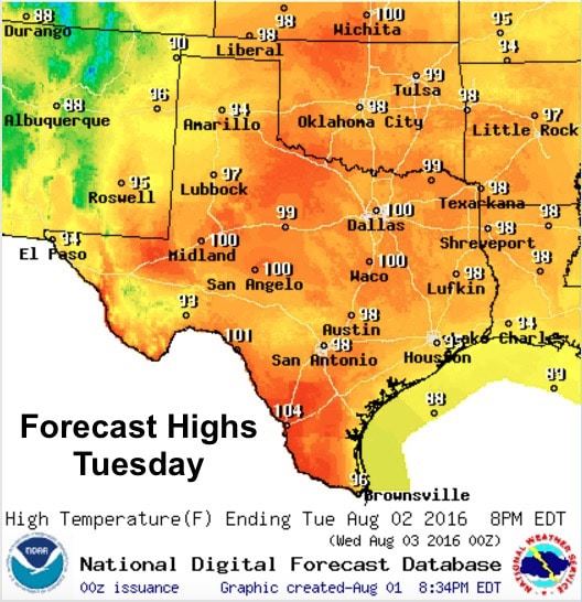
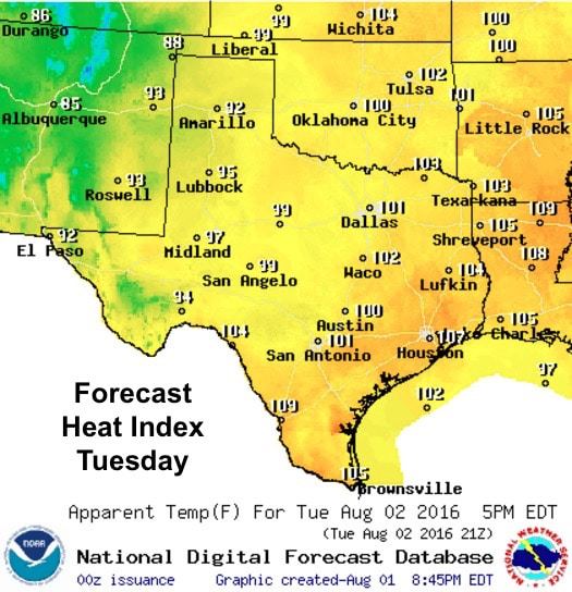
The dog days of summer are really upon us this week with above normal temperatures expected through next weekend, and very little chances for rain in the forecast. The only good news is that the highs will only be about 3 to 5 degrees above normal on average…but that’s probably not enough to make much of a difference. It will still feel hot. By Wednesday, we’ll see additional moisture pushing further north from the coast which will likely edge areas east of the I-35/I-45 corridor closer to Heat Advisory criteria. Nothing unusual for this time of the year, but after a few weeks of this, we’ll certainly be ready to lay out the welcome mat for our first fall cold front!
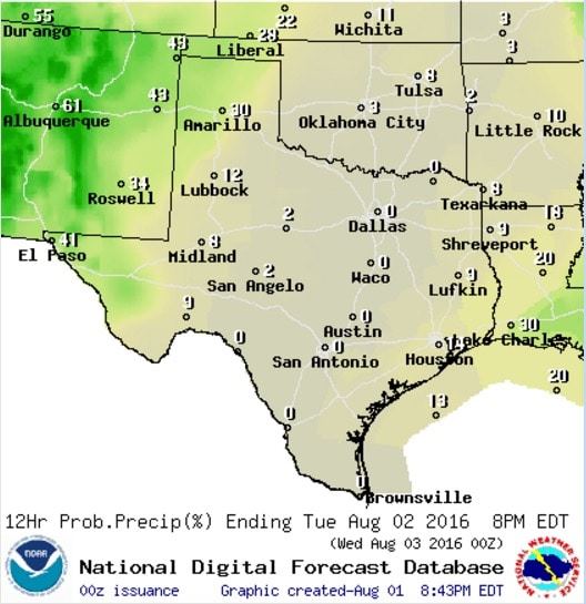
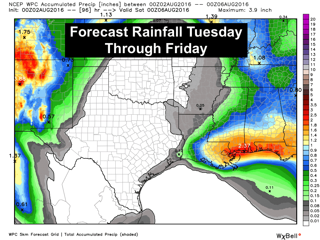
Rain chances remain pretty close to zilch for the rest of the week, with only slight chances of daily monsoonal showers and storms across the western and northern Texas panhandle region and in the higher elevations of far west Texas. That’s pretty normal as well with August being one of the drier months during the year, not counting rainfall from any tropical system.
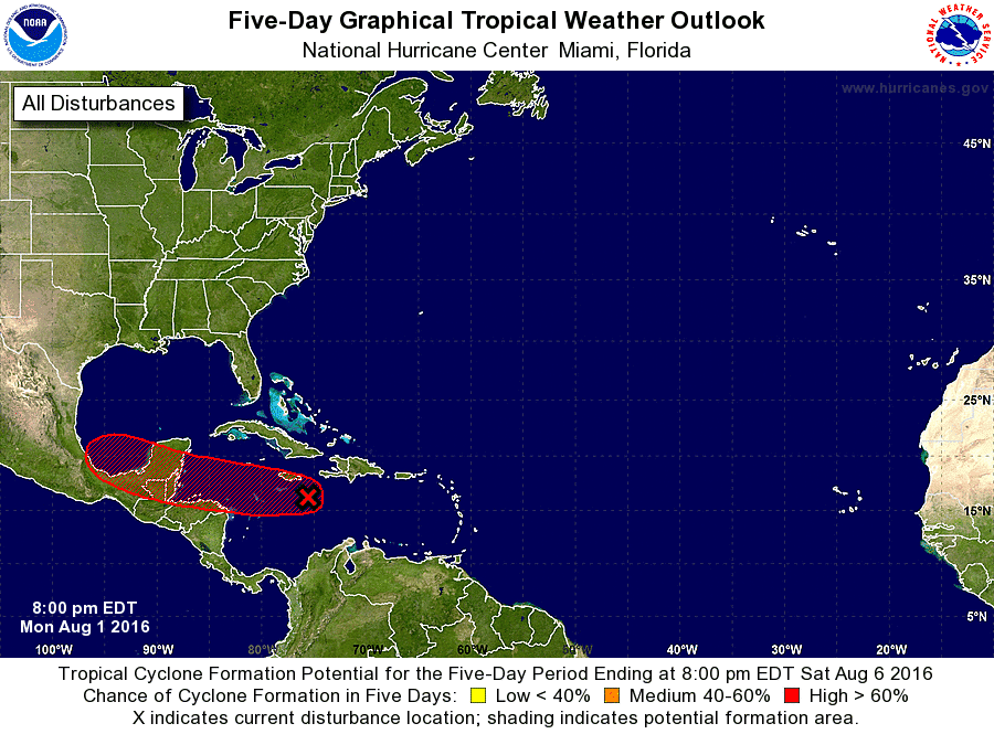
Speaking of the tropics, it’s likely we’ll see our current invest in the Caribbean become Tropical Storm “Earl” by early tomorrow. So far today, it’s not developed a defined center of circulation; however, further development overnight is likely. Air Force Reserve Reconnaissance aircraft is scheduled to investigate the system early tomorrow morning. Unfortunately, the flight scheduled earlier today had to return before reaching its target area due to maintenance issues. Its forecast track remains consistent in keeping the system well south of Texas with the only likely impacts to our state being an increased threat of rip tides and rough surf along the south Texas coast.


0 Comments