
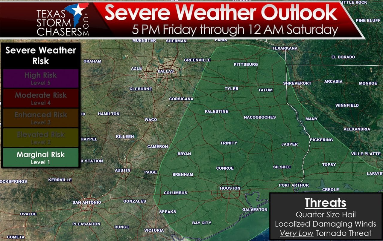
We’ll start out looking at the Storm Prediction Center’s outlook for tomorrow. After that I’ll discuss some of the aspects of tomorrow’s setup. Unlike the December 26th setup we’re not going to be dealing with a spring-like system. Tomorrow will be much more tame and in line with what we expect in the winter months. A marginal risk of severe weather has been issued for East Texas, Southeast Texas, and part of the Brazos Valley. On a five level risk system tomorrow’s setup is at a level one – the lowest risk. Tyler, B/CS, Houston, Lufkin, Pittsburg, and Port Arthur are a few cities in the risk. Tomorrow’s storm setup is marginal but we could see a few storms become strong to borderline severe. Those stronger storms would likely be hailers with stones up to the size of quarters. Some wind gusts up to 50-60 MPH could also occur. A very low risk of a brief tornado may develop across Southeast Texas. While a brief tornado may occur the overall tornado risk is very low.

Surface dewpoint values from the 12Z 4KM NAM Friday Evening
One factor limiting the severe weather threat on Friday will be limited moisture return. As is common for the winter months moisture levels will be on the low-end for a severe weather threat. Dewpoint values along the coast and in Southeast Texas should be in the low to mid 60s by dinnertime Friday. Further north into East and Northeast Texas dewpoint values will range from 54 to 58 degrees. I like to see values over 60 degrees for more organized severe thunderstorms during the cool season. In the spring and summer months you ideally want to see dewpoints above 65 degrees for significant, surface-based supercell potential. The depth of the moisture coming in from the northwest Gulf will also limit the severe weather potential. We’ll keep an eye on things along the coast and just inland across Southeast Texas as that is where moisture levels will be highest tomorrow evening.
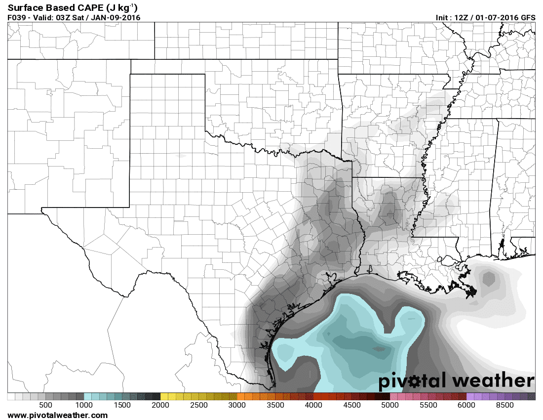
Potential Instability Levels around 9 PM Friday
Even though moisture levels will be limited there will be some instability elevated above the surface across East Texas. That instablity will likely be above a stable layer of air near the surface. A couple strong elevated storms would be possible in that enviornment with hail the threat. The threat for damaging winds and tornadoes is extremely low with elevated storms.
Rain amounts up to 0.75″ will be possible across Northeast Texas, East Texas, and Southeast Texas. Widespread severe weather is very unlikely but there may be numerous showers and thunderstorms across Northeast Texas, East Texas, and Southeast Texas Friday Evening.


0 Comments