
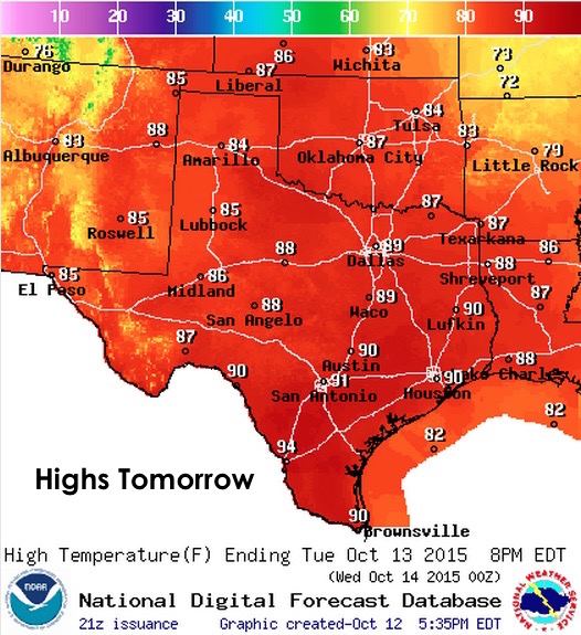
Record highs were set today in several locations across central Texas….Waco reached 98, Austin (Bergstrom) reached 97, Austin (Camp Mabry) reached 99, and Del Rio reached 98. Closer to the coast, Galveston set a new record of 87. We also had several locations across Llano, Burnet and western Travis county hit the 100 degree mark for a couple of hours this afternoon. I know we have plenty of TSC followers who love the summer heat, but I’m thinking that summer needs to die now and we need to get down to at least “normal” temperatures for this time of the year. We may start to see that as we get past this next weekend…more on that further down in the blog. For now, we have a strong “cool” front blasting through the state and it should arrive across south central Texas tonight, along the upper coast by tomorrow morning, and into deep south Texas by tomorrow afternoon.
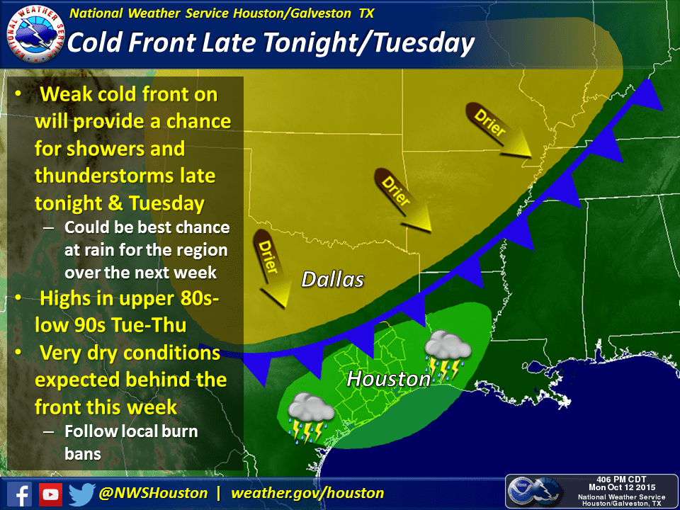
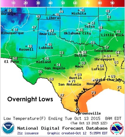
This front will not bring chilly temperatures during the day, in fact, highs will remain slightly above where they should be for this time of the year. It will be our overnight lows which will be the most impacted due to the very dry air trailing in behind the front. Less humidity means fewer water molecules in the air to impede the release of the earth’s heat into our atmosphere.
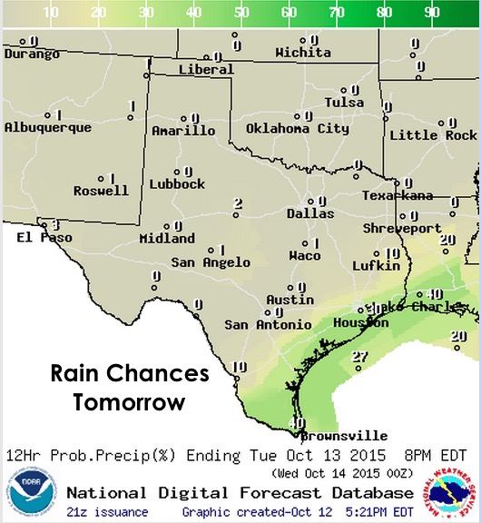
We do have some slight chances of rain developing along and ahead of the front overnight across southeast Texas, and further into deep south Texas by tomorrow afternoon. Severe weather is not likely, but we could see a few strong storms develop along the coast and across parts of south Texas tomorrow afternoon. Rainfall amounts won’t be that spectacular, but this does look to be the best chance for seeing any rain until we get well into next week.


A look ahead….the rest of the work week…warmer than we should be, but not hot enough to fry eggs on the pavement. For this coming weekend, we will be monitoring the possibility of a stronger cold front that looks like it really will have a nice impact on temps. There is still some variability in the forecast models with respect to timing and strength of the front, but it looks like it will arrive on Saturday…backdoor style, which means it will be coming at us from the northeast with Texas basically catching the western periphery of the front as it dives south across the delta states. We’re not expecting super chilly temps with it, but it will drop daytime highs closer to normal. At the same time, it appears we’ll see the return of an upper level disturbance over the desert southwest which will get caught up in the polar jet and drift over the northern half of the state Tuesday and Wednesday which has a chance of bringing rain back into the area. This time, we could be looking at better rain chances across north, central and eastern Texas which missed out on the rain last time. There’s NO certainty in this, but local forecasters are more hopeful with this round as, unlike our last rain event, it’s not tied to a disturbance that is cut off from the rest of the jetstream and left with nothing to steer it in our direction. Even the Climate Prediction Center is thinking positively about better rainfall across the state later next week, so….there’s hope!! Needless to say, we’ll keep an eye on it and keep everyone up to date as it gets closer.


0 Comments