
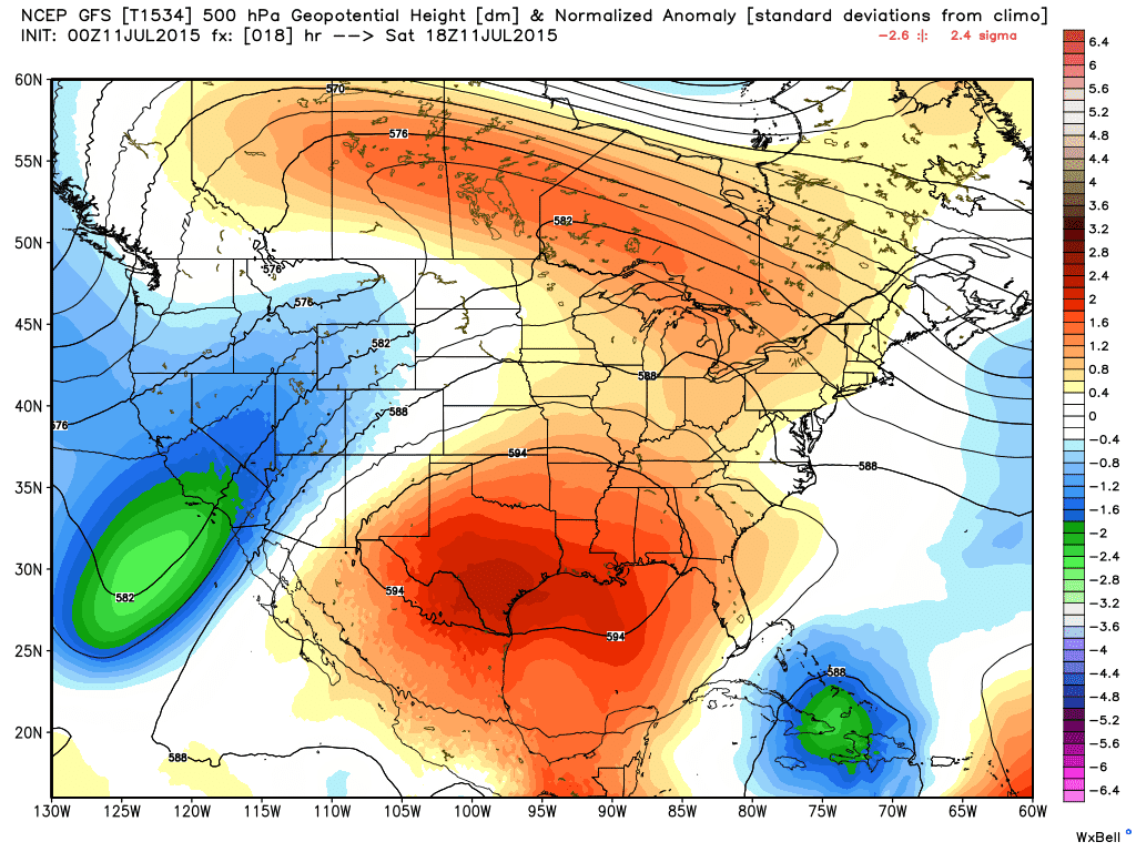
Hot and Dry will be the theme for the next 5 to 7 days as a strong ridge of high pressure settles in over the state. This is pretty typical for this time of the year, in fact we usually see this happening a bit earlier in the summer season, so we’ve lucked out with it holding out until now.
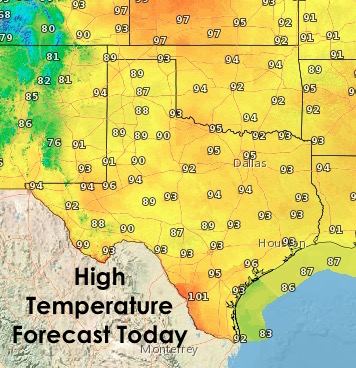
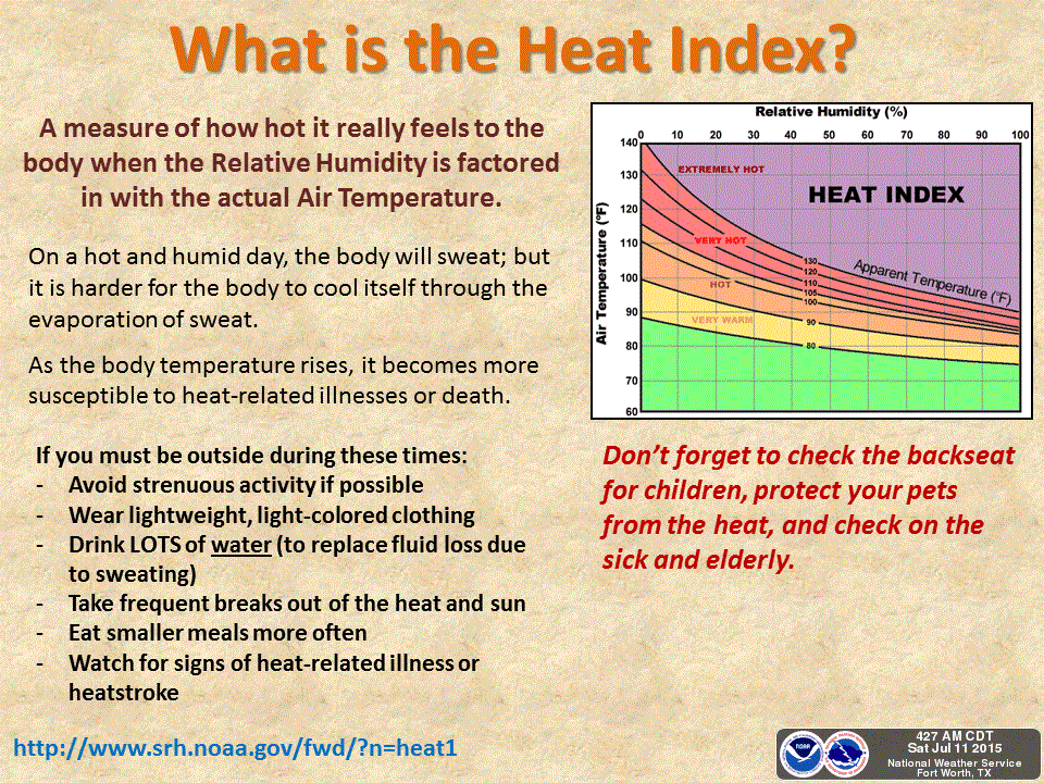
Highs over the next several days will be on the increase with Monday projected to be the hottest day of the week. Parts of northern Texas could see their first 100 degree readings of the season. I know we’re all looking forward to that! With humidity values still quite high from the rain we’ve had over the past several months, heat index values will jump above 100 degrees making it feel quite uncomfortable outside during the afternoon hours. Heat safety will be a concern and folks should try to limit strenuous outdoor activity during the afternoon hours as much as possible.
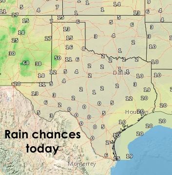
Rain will be hard to come by today for just about the entire state. We could see a few spotty seabreeze showers develop along the southeast coast after noon today. And for parts of the panhandle and western Texas, we expect to see most of the afternoon and evening storm development remain in New Mexico; however a few could make it into the western panhandle along the TX/NM border. Other than that, not a whole lot going on!


0 Comments