
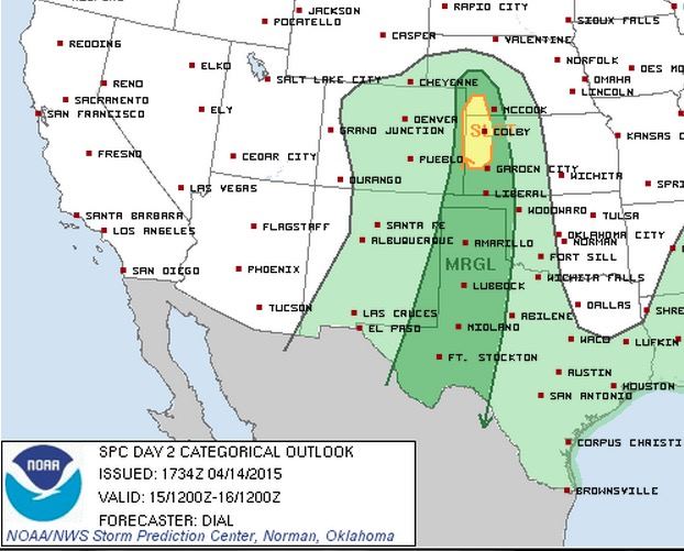
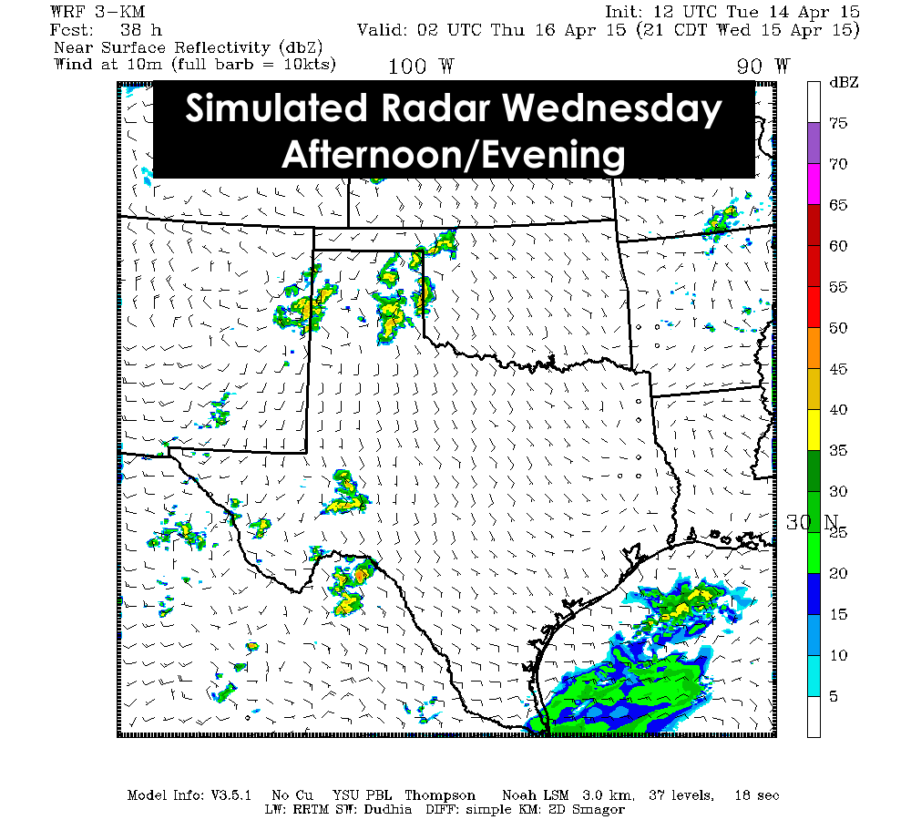
Most of the state will finally see a bit of a break from the rain tonight and into tomorrow. We’ll even see a return of sunny skies for most areas with only scattered cloud cover expected for coastal zones, east Texas and parts of north Texas. A few storms are possible across parts of the panhandle down into western Texas Wednesday afternoon ahead of our next upper level system. The Storm Prediction Center has a narrow stretch from the panhandle down into west/southwest Texas under a Marginal Risk of seeing severe weather. Outside of the Marginal Risk area, we may see a few scattered showers here and there, but overall it should be a mostly tranquil day with just spotty rain activity.
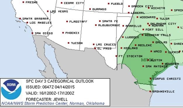
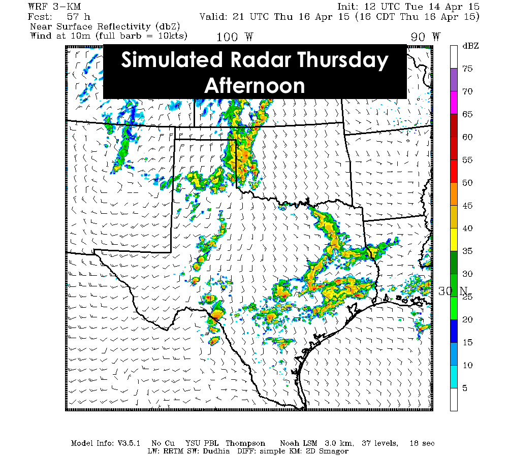
Thursday through Saturday, rain and storm chances will be on the increase as our next upper level system, a cutoff low, approaches and hangs out for a few days over New Mexico and Arizona before it finally moves east over the weekend. Thursday’s storm chances will be focused across west central and central Texas with numerous showers and storms developing by mid-afternoon across central Texas, with additional chances across the eastern panhandle/northwest Texas during the late afternoon/evening hours. With some uncertainties in the forecast for the exact evolution of this next cutoff low, look for updates to the rain and thunderstorm forecast over the next several days!


0 Comments