
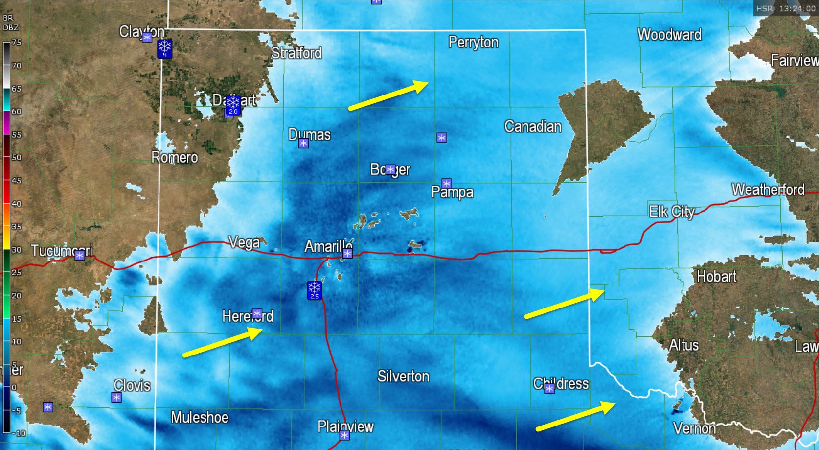
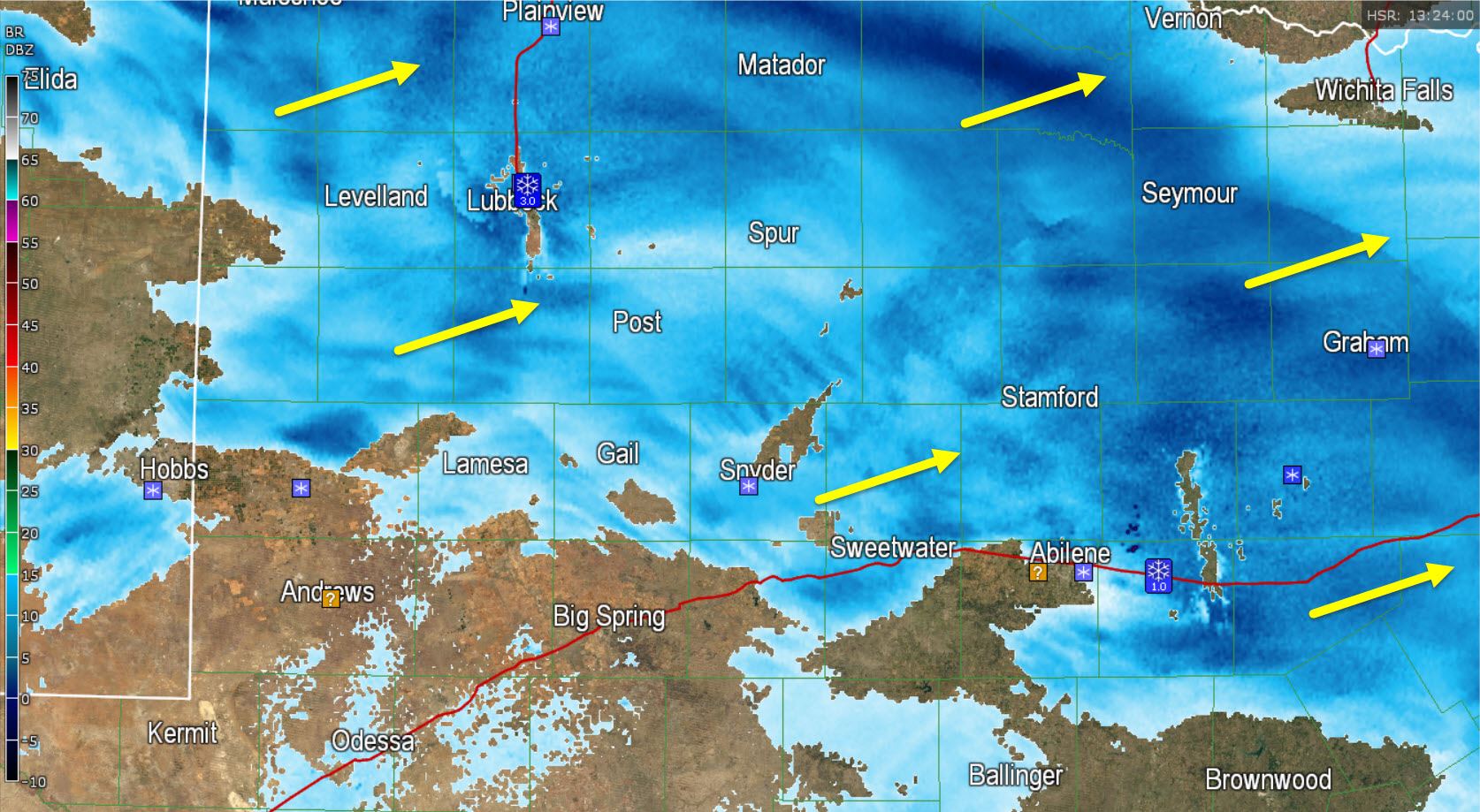
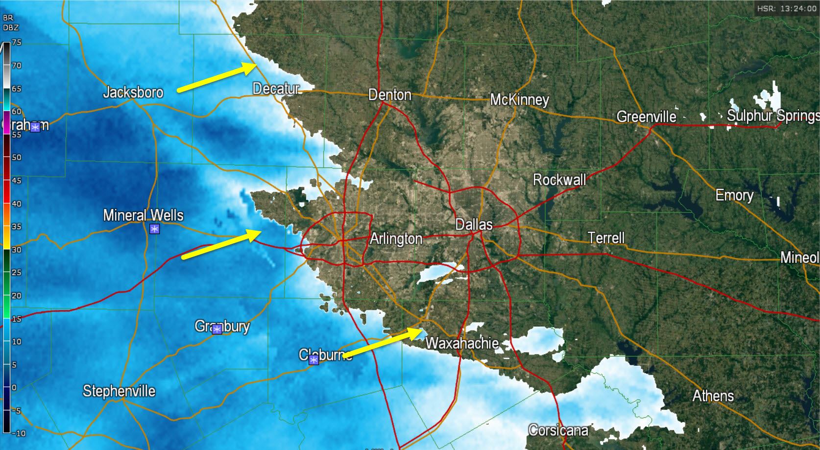
Light to moderate snow continues to move east/northeast across the Texas Panhandle, South Plains, Rolling Plains, Northwest Texas, Big Country, and western North Texas. Snow is beginning to end from west to east across the northwest Texas Panhandle and we’ll see activity weaken across the Panhandle and South Plains as the morning rolls on and upper level lift moves off to the east. Meanwhile we now have snow beginning to fall just west of the D/FW Metroplex in Weatherford, Paradise, and Cleburne. As the atmosphere continues to saturate we’ll see light snow begin to fall in the D/FW Metroplex over the next 60-90 minutes. After that time snow intensity will increase between 9 AM and 11 AM with some locally heavier snows possible in and north of the D/FW Metroplex. We continue to forecast 1 to 2 inches of snow in the D/FW Metroplex with up to 3 inches of snow northwest and north of D/FW. With temperatures below freezing any snow that falls could accumulate on bridges and roads so use a little bit of common sense while driving. By common sense I mean to assume that no one around you actually knows how to drive in snow.
Texline, TX – 4″
Dalhart, TX – 2″
Amarillo, TX – 1.5″
Canyon, TX – 2.5″
Lubbock, TX – 3.0″ up to 4.0″
Baird, TX – 1″
Road conditions will not improve much today with temperatures remaining below freezing. In addition we’ll see freezing rain tonight across the Big Country into North Texas which will deposit a thin layer of ice on pretty much everything. Roads will be at their worst tonight most likely but could go downhill in D/FW by late morning.
Radar at 7:30 AM


0 Comments