
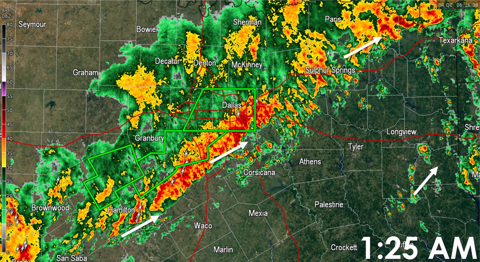
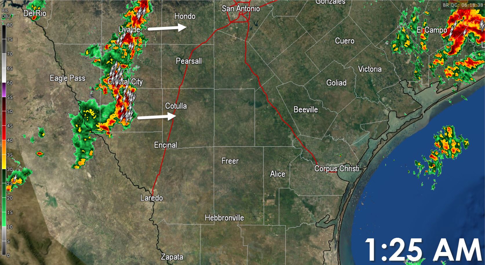
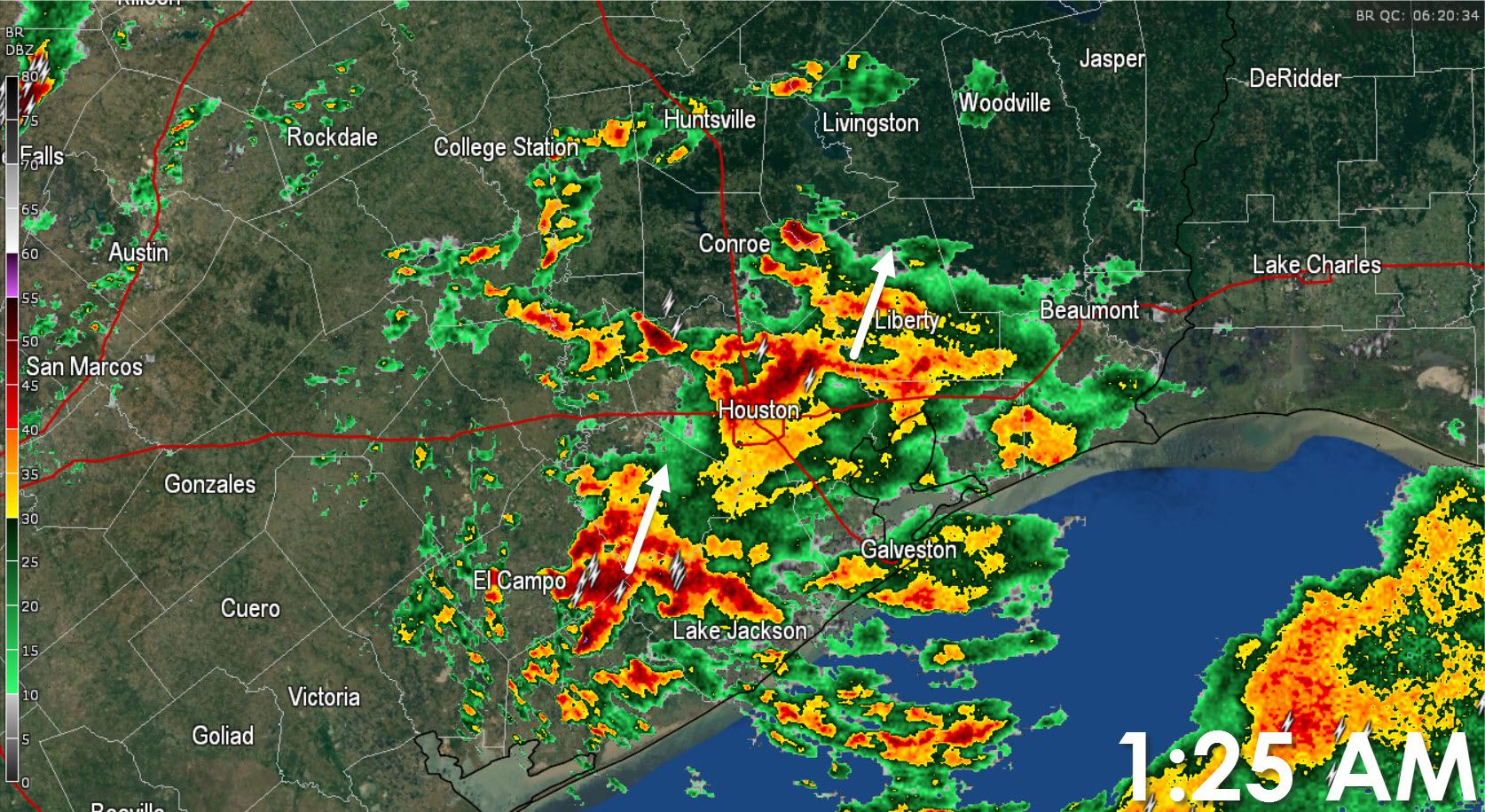
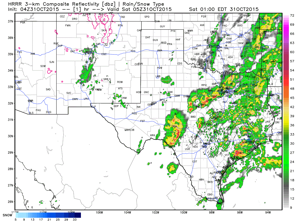
Good Morning and welcome to the last day of October. The first half of this day will be quite active but the second half will turn out fairly nice. A complex of thunderstorms across the Hill Country will continue to push east at about 40 MPH. At the current speed the storms will reach Interstate 35 around Austin by 3 AM. Because of the prolific rains that fell yesterday along with high rainfall rates we’re expecting another round of flash flooding. We should see rain continue over North Texas through the early morning hours before activity begins to taper off from west to east. A squall line may form around sunrise and push east across the Brazos Valley, Southeast Texas, and East Texas. Some of the storms in this line could be strong with damaging wind gusts. A quick 1 to 3 inches of rain may also fall resulting in the possibility of flash flooding. Flash Flood Watches remain in effect through noon across Northeast Texas, East Texas, Southeast Texas, and the Interstate 35 corridor from just south of D/FW through South Texas. Activity by lunch time will quickly be ending from west to east. By early afternoon I expect most rain/storms will be out of Texas although a few showers will remain possible in Southeast Texas and along the coast. Halloween activites tonight are looking good! We just need to get through any issues this morning.


0 Comments